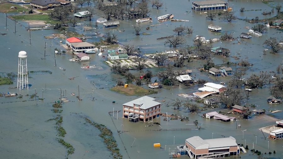
Laura Approaching
Hurricane Laura is barreling towards the Texas and Louisiana coasts and is expected to become an extremely dangerous Category 4 hurricane. The worst-case scenario centers around a surge that is predicted to be to the east of the center of the storm. The Hurricane is expected to make landfall on Wednesday evening, bringing winds that have reached up to 125 mph, waves that could reach up to 15 feet tall, and a storm surge that is expected to penetrate up to 30 miles inland.
At least 20 million people are in the storm’s path and over half a million have been ordered to evacuate.
“Unsurvivable storm surge with large and destructive waves will cause catastrophic damage from Sea Rim State Park, Texas, to Intracoastal City, Louisiana, including Calcasieu and Sabine Lakes,” the National Hurricane Center said late Wednesday morning.
Conditions are said to rapidly deteriorate after sunset, meaning the worst of the storm will occur when it is dark. Peak wind gusts are expected to last until Thursday morning as the storm moves inland. As it pushed north, it is still likely to become a hurricane.
Tropical storms like these also bring pop-up tornadoes. The conditions add to the number of many things the residents of Texas and Louisiana are going to have to look out for.
Widespread flash flooding is expected along small streams, rivers, urban areas, and roadways in Texas, Louisiana, and Arkansas starting Wednesday and lasting through Thursday. Hurricane Laura will drop around 15 inches of rain in the specified states. Additionally, 4 inches of overall rain is expected to fall in the southern Mississippi Valley from central Louisiana into western Tennessee and Kentucky, and southeastern Missouri, the National Hurricane National Hurricane Center said Wednesday morning.
Your donation will help support The Lambert Post, Lambert High Schools student-run newspaper! Your contribution will allow us to purchase equipment and cover website hosting costs.


